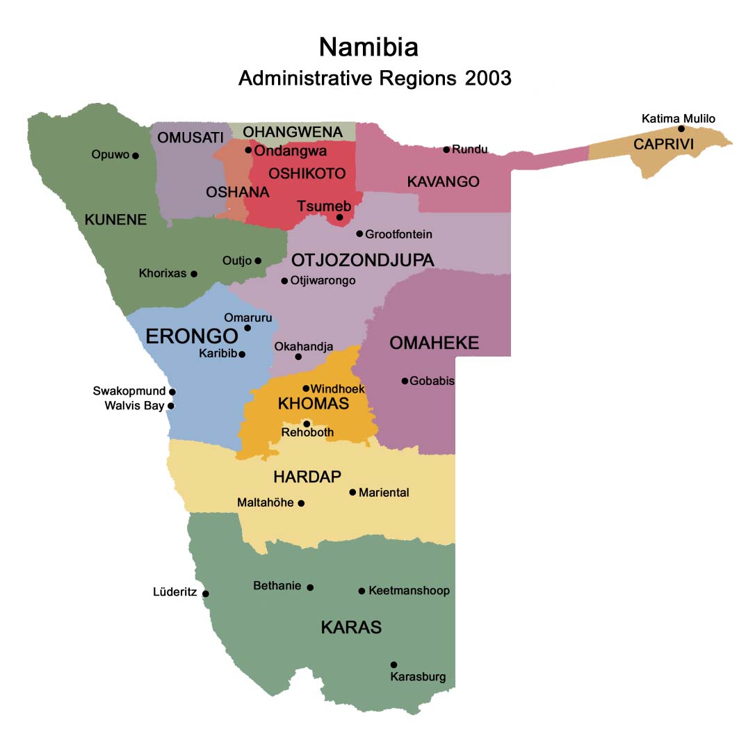
Constituencies
The region comprises seven electoral constituencies:
Omaruru
Karibib
Dâures (formerly Brandberg Constituency)
Arandis
Swakopmund
Walvis Bay Rural
Walvis Bay Urban
Demographics
According to the Namibia 2001 Population and Housing Census, Erongo had a
population of 107,663 (50,040 females and 57,616 males or 115 males for
every 100 females) growing at an annual rate of 1.3%. The fertility rate was
3.2 children per woman. 80% lived in urban areas while 20% lived in rural
areas, and with an area of 63,579km2, the population density was 1.7 persons
per km2. By age, 11% of the population was under 5 years old, 18% between
5-14 years, 64% between 15-59 years, and 6% 60 years and older. The
population was divided into 27,496 households, with an average size of 3.8
persons. 35% of households had a female head of house, while 65% had a male.
For those 15 years and older, 57% had never married, 24% married with
certificate, 2% married traditionally, 10% married concensually, 2% were
divorced or separated, and 3% were widowed.
The most commonly spoken languages at home were Oshiwambo (37% of
households), Afrikaans (22%), and Damara/Nama (21%). For those 15 years and
older, the literacy rate was 92%. In terms of education, 89% of girls and
86% of boys between the ages of 6-15 were attending school, and of those
older than 15, 79% had left school, 9% were currently at school, and 8% had
never attended.
The employment rate for the labor force (71% of those 15+) was 66% employed
and 34% unemployed. For those 15+ years old and not in the labor force
(24%), 35% were students, 34% homemakers, and 31% retired, too old, etc.
Among households, 96% had safe water, 12% no toilet facility, 73%
electricity for lighting, 89% access to radio, and 20% had wood or charcoal
for cooking. In terms of household's main sources of income, 4% derived it
from farming, 67% from wages and salaries, 8% cash remittances, 8% from
business or non-farming, and 10% from pension.
For every 1000 live births there were 43 female infant deaths and 54 male.
The life expectancy at birth was 59 years for females and 54 for males.
Among children younger than 15, 3% had lost a mother, 5% a father, and 1%
were orphaned by both parents. 4% of the entire population had a disability,
of which 21% were deaf, 41% blind, 10% had a speech disability, 10% hand
disability, 22% leg disability, and 4% mental disability.
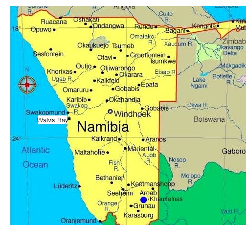
Country: Namibia
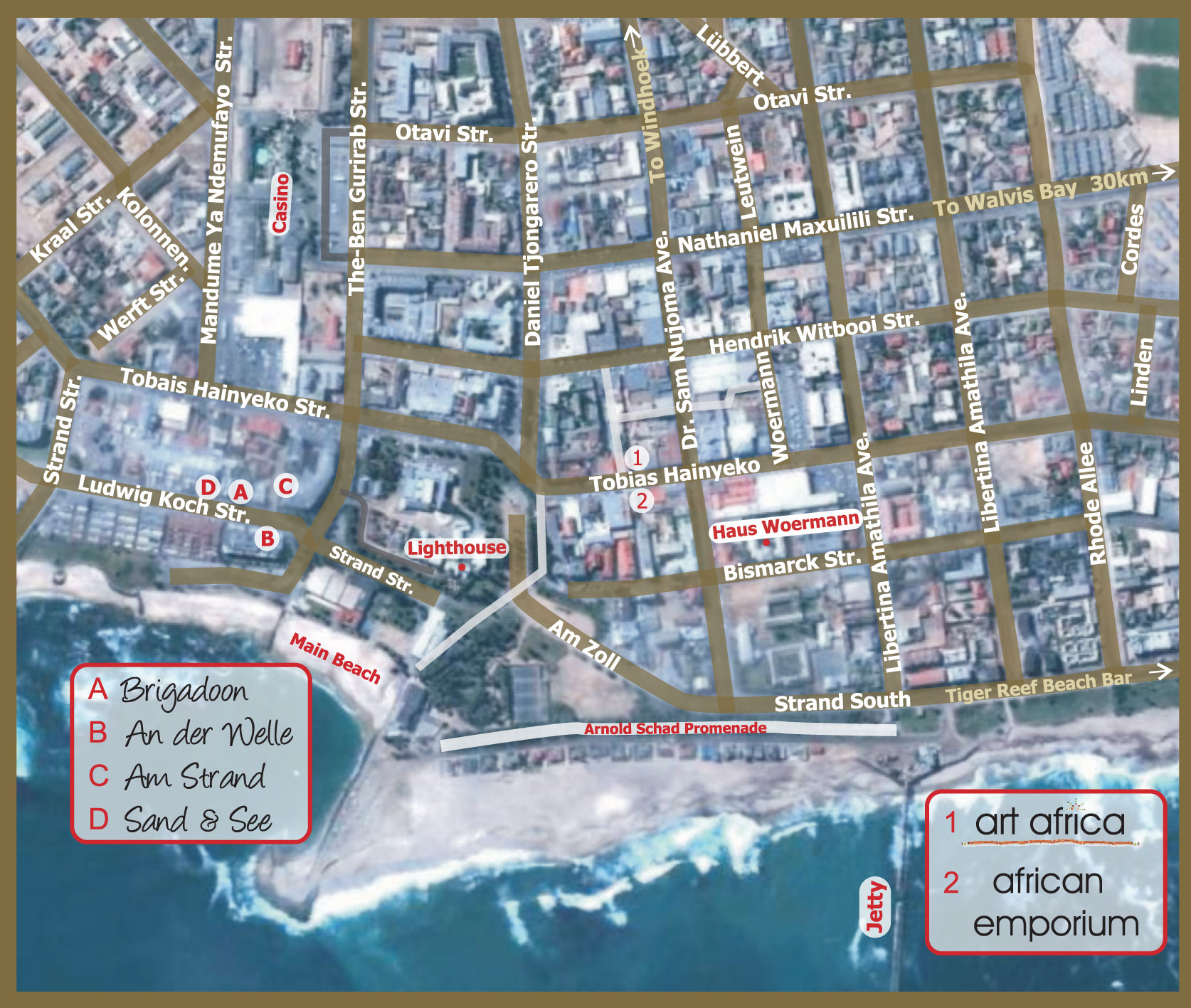
Capital: Swakopmund
Government
• Governor Cleophas Mutjavikua
Area
• Total 63,720 km2 (24,600 sq mi)
Population (2001)
• Total 107,629
• Density 1.7/km2 (4.4/sq mi)
Time zone South African Standard Time: UTC+1
Contact:
E-mail:
info@namibweb.com
Reservations are only accepted in writing: by fax or via e-mail.
Final availability confirmation: in writing: by fax or via e-mail.
![]()
![]()
![]()
Page created and serviced by
![]()
www.namibweb.com
Copyright © 1998-2025
namibweb.com - The online guide
to Namibia
All rights reserved |
JOIN
|
VIDEO PORTFOLIO
|
VIDEO/PHOTO COLLECTION
Telegram
| YouTube |
Blog
Page is sponsored by ETS &
Exploring Namibia TV
Disclaimer: no matter how often this page is updated and its accuracy is checked,
www.namibweb.com and ETS
will not be held
responsible for any change in opinion, information, facilities, services,
conditions, etc. offered by
establishment/operator/service/information provider or any third party