 |
 |
 |
|
Vingerklip Lodge |
Accommodation Namibia - Western & Coastal Region |
 |
 |
 |
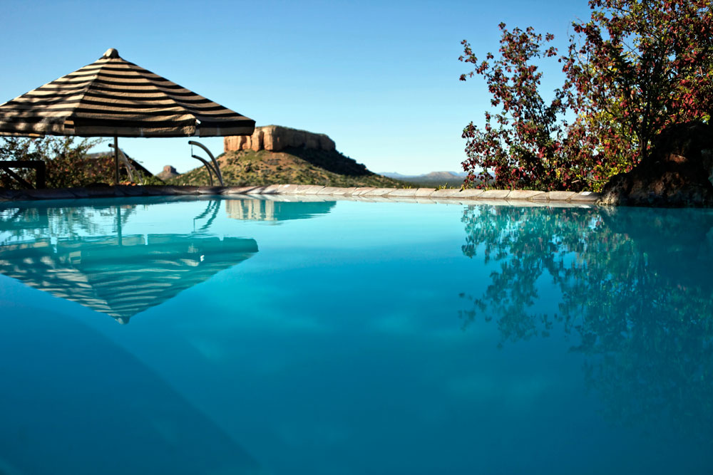
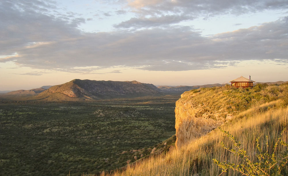
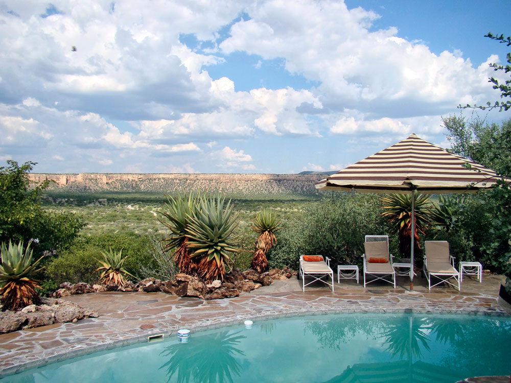
Two refreshing pools invite you after
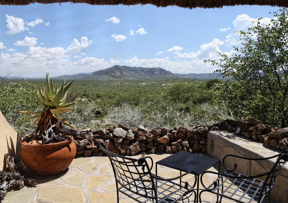
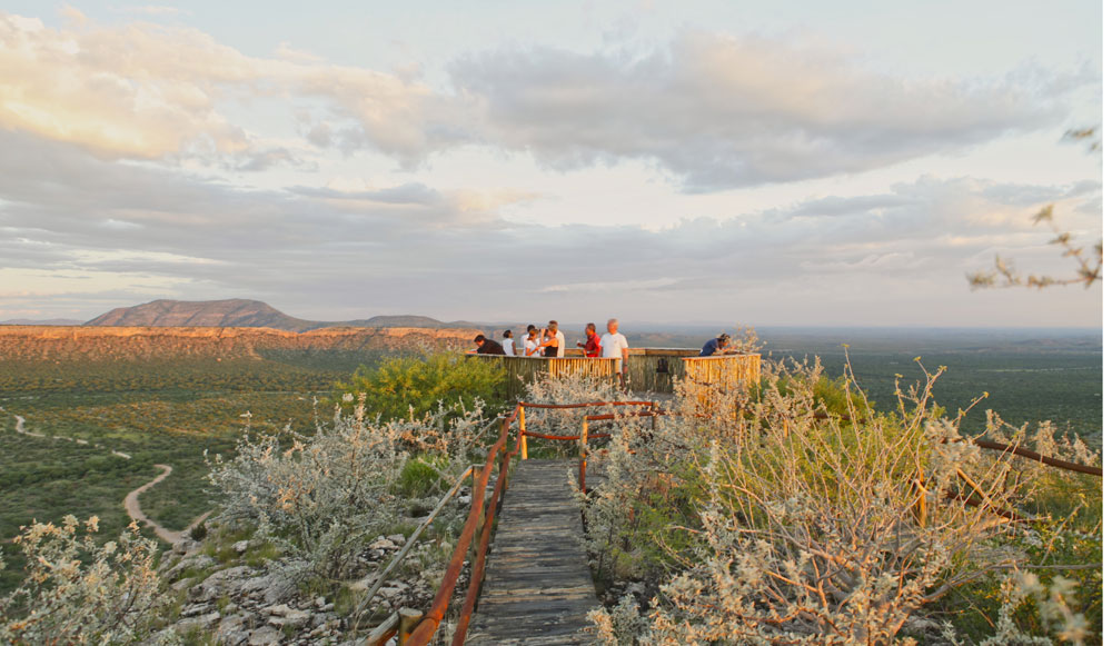
strolling along the trails across the African bushveld. Or enjoy a sundowner on
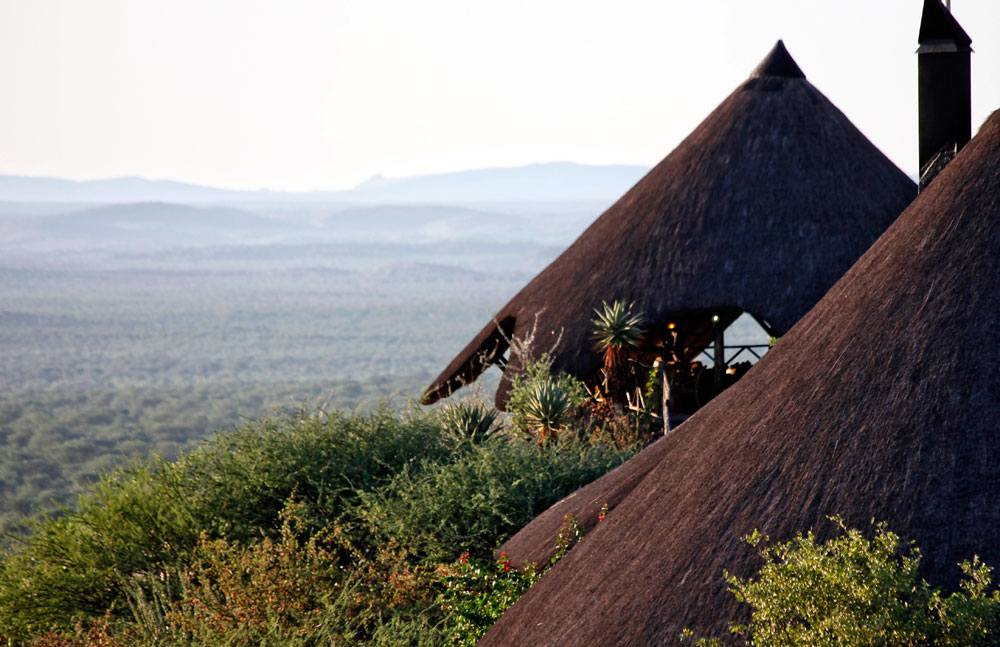
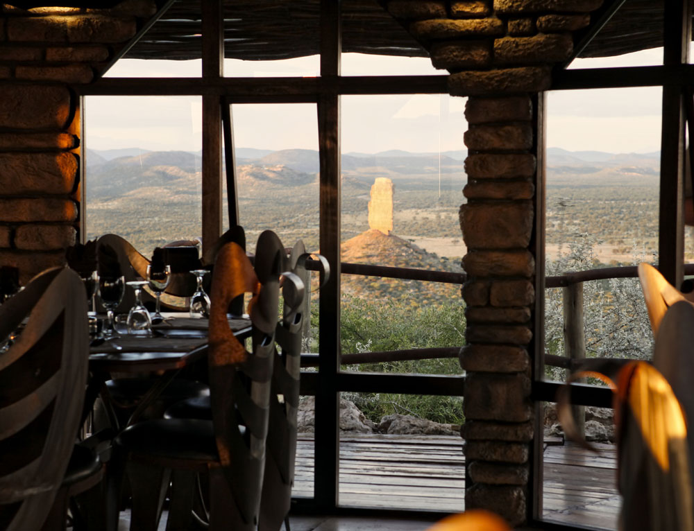
our veranda with a view over Namibia's wide open spaces. At night, enjoy one of
the worlds most stunning starry skies,
while sitting around the camp fire.
Other attractions in the area include: the Petrified Forest where some
antediluvian flood deposited giant tree trunks are found; the vividly coloured
ridge of hills known as the Burnt Mountain arid the Doros Crater where fossil
remains have been found among the rocks. Twyfelfontein is unequalled for its
abundance of rock engravings, while the imposing Brandberg massif is home to one
of the richest collections of rock paintings in Southern Africa. It is easy to
reach the Etosha National Park from the lodge.
 |
 |
 |
Main points
11 double/twin
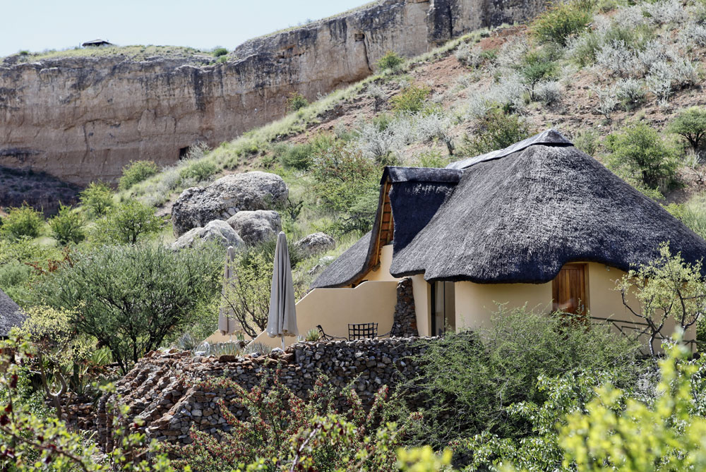
rooms, 11 family rooms & Heaven's Gate luxury bungalow.
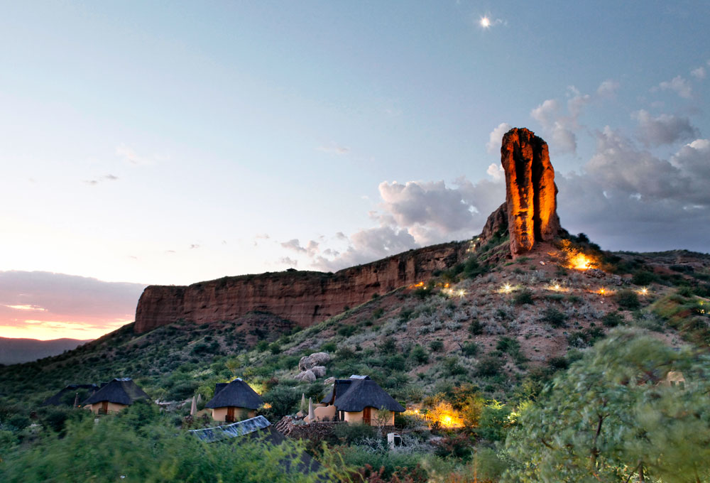
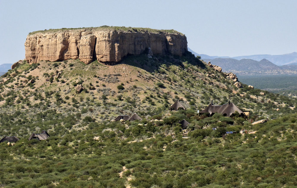
Located on a 1,600 ha private reserve between Outjo and Khorixas.
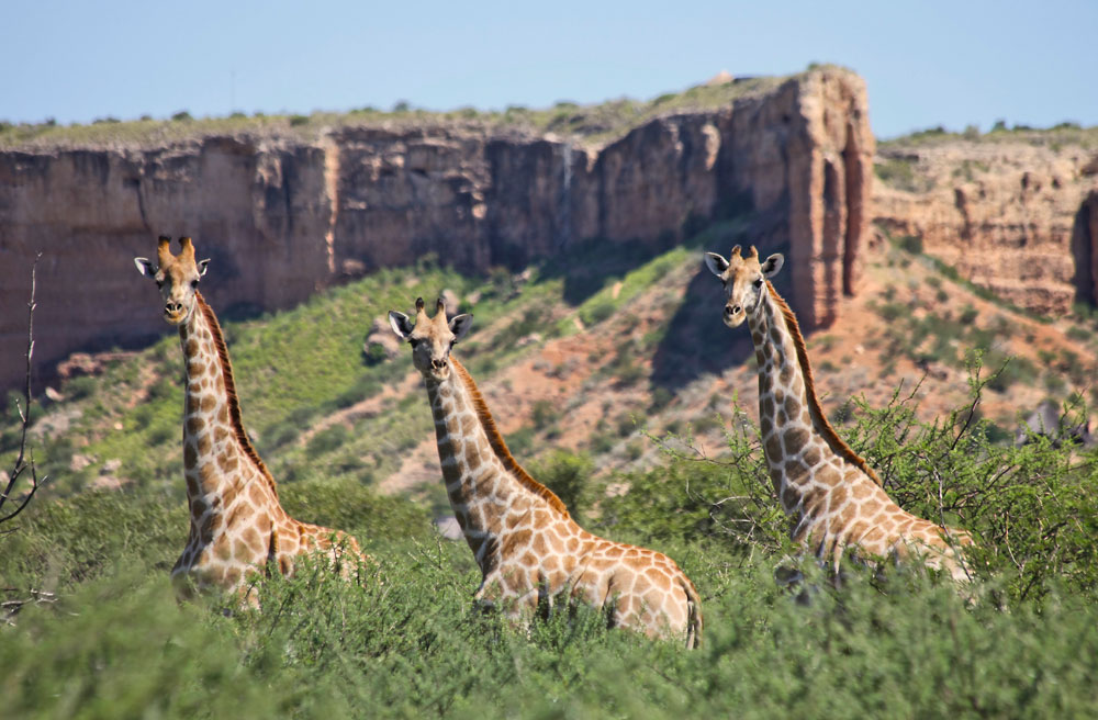
The area has a good populations of giraffe, Oryx, springbok, kudu, eland, impala
and steenbok.
Ideal for self-drives, small groups and families.
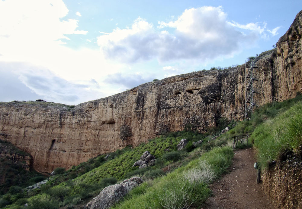
Located within walking distance of the Vingerklip.
Activities include guided and self-guided walks, Himba Village visit and
sundowner drive.
Downloads
Advisory
Children of all ages
welcome.
Suitable for the aged.
Not suitable for wheelchairs.
During rainy season a 4x4 vehicle is recommended.
 |
 |
 |
Vehicles
* Vingerklip Lodge
can be reached in a 2 X 4 sedan.
* Although Vingerklip Lodge lies in an arid area, rain in other parts of the
country can cause rivers to flow. The onset of the flow is very rapid.
* As a large part of the journey takes place on gravel roads, consultants should
switch to a 4x4 vehicle during the rainy season (October to April).
Transfers
Vingerklip Lodge offers free transfers from / to the Vingerklip Lodge Airstrip.
Airstrip
Vingerklip Lodge
Airstrip (FY52)
* South 20 degrees 23' 39
* East 15 degrees 25' 51
* Elevation: 3,500 feet
* Length: 1,600 meters
* Width: 15 meters
* Direction: 02/20
* Surface: Gravel
Note: Fly over lodge for pick-up.
 |
 |
 |
Directions
Walvis Bay via
Swakopmund and Uis
Walvis Bay via Swakopmund and Uis to Vingerklip Lodge approx. 394 km
* Drive north from Walvis Bay on the B2 to Swakopmund (approx. 30 km)
* From Swakopmund continue north on the C34 to Henties Bay (approx 72 km)
* Continue north on the C43 to the intersection with the C35 (approx. 6 km)
* Turn into the C35 and follow the C35 to Uis (approx. 114 km)
* Drive through Uis and follow the C35 north to the C39 turn off (approx. 115
km)
* Turn right into the C35 and continue to the D2743 turn off (approx. 5 km)
* Turn right into the D2743 and follow it to the lodge (approx. 52 km)
The B2 between Walvis Bay and Swakopmund is tar road. The rest of the route is
on gravel road
Small detour attractions: Cape Cross and the 'White Lady' rock painting at the
Brandberg.
NOTE: A visit to the 'White Lady' requires an approx. 2 hours walk.
Opuwo
Opuwo to Vingerklip Lodge is approx. 446 km
* Drive south from Opuwo on the C43 to Sesfontein (approx. 123 km)
* From Sesfontein continue on the C43 to the C39 turn off (approx. 140 km)
* Turn left into the C39 and drive to Khorixas (approx. 126 km)
* From Khorixas continue on the C39 to the D2743 turn off (approx. 5 km)
* Turn right into the D2743 and follow it to the lodge (approx. 52 km)
The entire route is on gravel road
Small detour attractions: Warmquelle and Ongongo.
Etosha National Park (Andersson's Gate)
Etosha National Park to Vingerklip Lodge is approx. 214 km
* From Okaukuejo drive south on the C38 to Outjo (approx. 114 km)
* From Outjo drive west on the C39 to the D2743 intersection (approx. 80 km)
* Turn left into the D2743 and continue to the lodge (approx. 20 km)
The C38 & C39 are tar road. The D2743 is gravel road.
Otjiwarongo
Otjiwarongo to Vingerklip Lodge is approx. 166 km
*From Otjiwarongo drive north on the C38 to Outjo (approx. 66 km)
* From Outjo drive west on the C39 to the D2743 intersection (approx. 80 km)
* Turn left into the D2743 and continue to the lodge (approx. 20 km)
The C38 & C39 are tar road. The D2743 is gravel road.
Omaruru
Omaruru to Vingerklip Lodge approx. 295 km
* From Omaruru drive north west on the C36 to Uis ( approx. 123 km)
* Drive through Uis and follow the C35 north to the C39 turn off (approx. 115
km)
* Turn right into the C35 and continue to the D2743 turn off (approx. 5 km)
* Turn right into the D2743 and follow it to the lodge (approx. 52 km)
The entire route is on gravel road
Small detour attractions: The 'White Lady' rock painting at the Brandberg.
NOTE: A visit to the 'White Lady' requires an approx. 2 hours walk.
Rates per person per night: on request
| Dinner, bed & breakfast | |
|
Per person: Single & Double room |
- |
| Heavenís Gate Suite |
- |
Notes: Rates are subject to change without prior notice should tax be increased or Government levies introduced. Rates include Value Added Tax.
Facebook groups:
NAMIBIA: https://www.facebook.com/groups/namibia.namibia
DAMARALAND: https://www.facebook.com/groups/damaraland
KAOKOLAND: https://www.facebook.com/groups/kaokoland
DRONESBERG AERIAL PHOTO/VIDEO: https://www.facebook.com/dronesberg
Contact &
reservations:
E-mail:
info@namibweb.com
Terms & conditions, Payment options and Cancellation policy
Page created and serviced by

www.namibweb.com
Copyright © 1998-2025
namibweb.com - The online guide
to Namibia
All rights reserved |
JOIN
|
VIDEO PORTFOLIO
|
VIDEO/PHOTO COLLECTION
Telegram
| YouTube |
Blog
Page is sponsored by ETS &
Exploring Namibia TV
Disclaimer: no matter how often this page is updated and its accuracy is checked,
www.namibweb.com and ETS
will not be held
responsible for any change in opinion, information, facilities, services,
conditions, etc. offered by
establishment/operator/service/information provider or any third party
Images & description: Copyright © Vingerklip Lodge