 |
 |
 |
Video Windhoek & central region
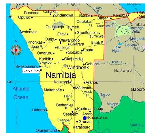
Rehoboth is a town of 21,000 inhabitants in central Namibia just north of the Tropic of Capricorn. Located on the B1 road, 90 kilometres south of the Namibian capital Windhoek, Rehoboth lies on a high elevation plateau with several natural hot-water springs. It receives sparse mean annual rainfall of 240 millimeters, although in the 2010/2011 a record 731 millimeters were measured. A population of Rehoboth was 21,380 in 2005.
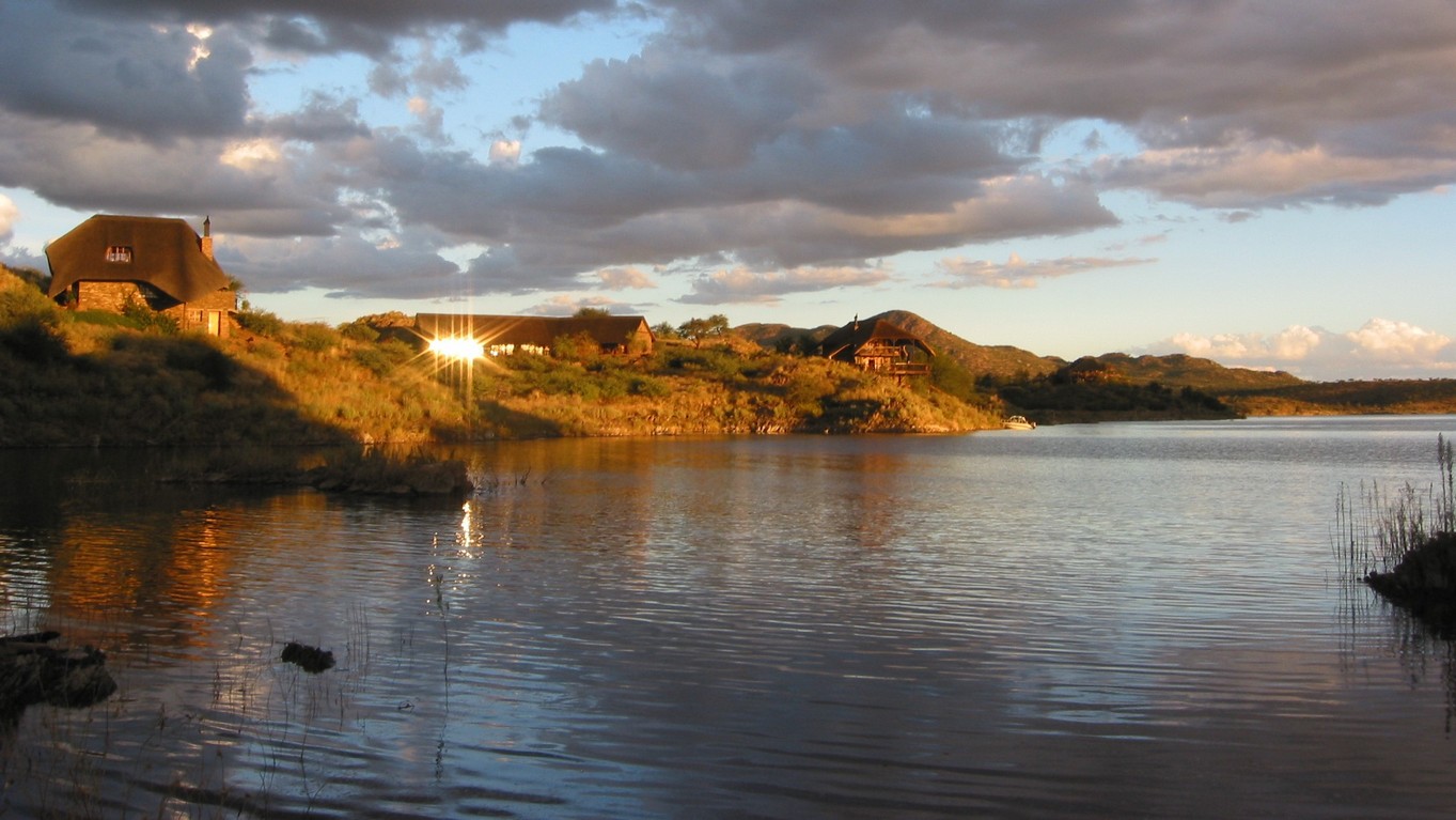
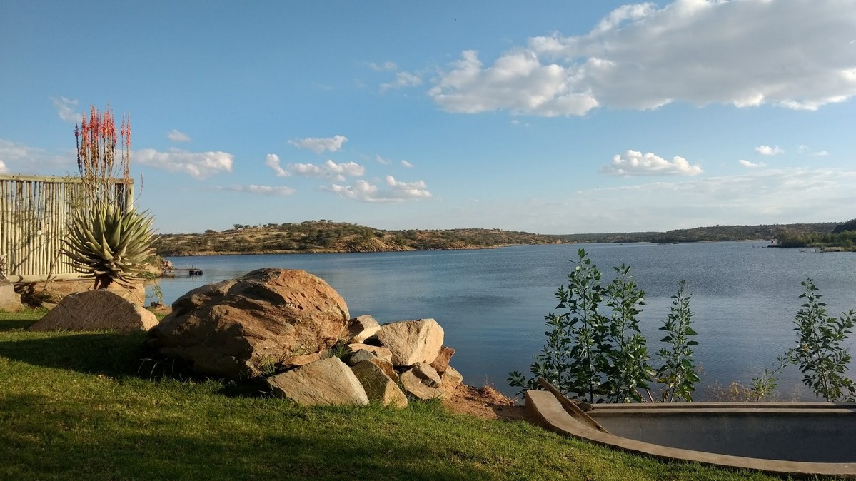
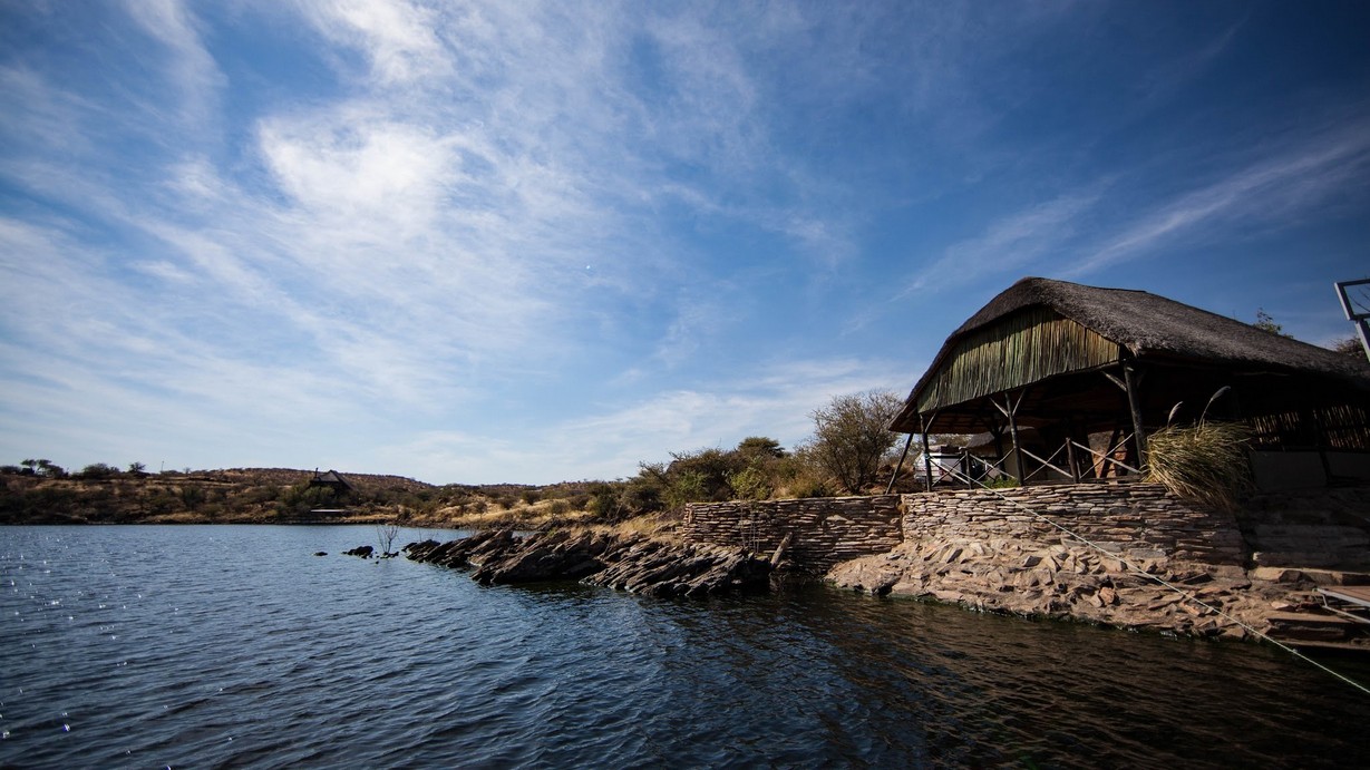
There is a popular Lake Oanob Resort near the town in the middle of African savanna.
Administration
Administratively, Rehoboth is classified as a town with its own council of 7
elected individuals. Rehoboth is divided into eight neighbourhoods, called
blocks. The oldest part of the town is blocks A, B and C, whereby block B
contains most public services and shops. Block D is home to the wealthiest
inhabitants of the town. Block E is the poorest neighbourhood and was
originally (under Apartheid) designated for blacks. Blocks F,G and H are the
newest neighbourhoods. The current mayor of the town is Mr. Pieters living
in Block E.
Public amenities include a public hospital, primary and secondary schools
and a district court with resident magistrate. The Oanob Dam, approximately
six kilometres from Rehoboth, supplies the town with fresh water. The
majority of the population consists of Basters.
LAKE OANOB RESORT IN VICINITY OF REHOBOTH:
|
|
|
|
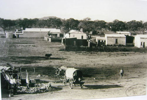
History
Until the 19th century the area of the present day Rehoboth town was
inhabited by Nama (Khoikhoi)
 groups who called it
|Anis meaning smoke;
referring to the cloud of condensed water vapour hanging over the hot
springs in the morning.
groups who called it
|Anis meaning smoke;
referring to the cloud of condensed water vapour hanging over the hot
springs in the morning.
The missionary Franz Heinrich Kleinschmidt of the German Rhenish Missionary
Society named the place Rehoboth in 1845, when a mission was established
among the resident Nama (Khoikhoi). In 1864, the Nama abandoned the area as
a result of an attack by the Orlam Afrikaners.
In 1870, the Basters, who had migrated out of the Cape Colony in 1868 moved
into the territory and were granted permission to settle at Rehoboth by the
participants of the peace conference of Okahandja on 23 September 1870. In a
few years, the Basters were closely linked to the town of Rehoboth and
became identified as Rehoboth Basters or Rehobothers. The population
increased rapidly from an initial number of 333 in 1870, 800 in 1874 and
1500 by 1885. The growing Baster population settled in the surrounding
areas, which would become known as the Rehoboth Gebiet (meaning ‘area’).
In 1885, Baster Kaptein Hermanus van Wyk signed a 'Treaty of Protection and
Friendship' with the German Empire which permitted him to retain a degree of
autonomy in exchange for recognising colonial rule. Relations between
Rehoboth and Germany remained close for more than twenty years but in 1914,
following the outbreak of World War I, Germany's use of Baster soldiers to
guard South African prisoners - contrary to the terms of their enlistment -
led to armed revolt. German forces then attacked Rehoboth, committed
atrocities against Baster civilians and attacked refugees encamped upon the
mountain of Sam Khubis, but, despite repeated attacks and the use of
superior weaponry, were unable to destroy the Basters' position. Next day,
the Germans retreated and Rehoboth's Baster community was reprieved.
Namibia was occupied by South Africa in 1915 and, ten years later, a second
rebellion broke out at Rehoboth. This revolt collapsed, however, when
colonial forces - armed with machine-guns and supported by two warplanes -
marched into the town and arrested more than 600 people.
Transport
The town is served by Rehoboth railway station. There is also a private landing strip, for small aircraft near the Oanob Dam. To the west is Gamsberg Nature Reserve.
Notable residents
Hermanus Beukes, early petitioner for Namibian independence.
Situated 87 km south of Windhoek at the foot of the Auas Mountains, Rehoboth
is home to the Baster (literally, 'Bastards'), a fiercely proud and
independent people who are the descendants of a group of farmers of mixed
European and Khoisan blood. Nearby Oanob Lake is stunning, with new
lakeside thatched chalets, well tended camping sites and a range of water
sports and entertainment for families.
Phone code: 062. Police: 10111.
Coordinates:
23°19'S 17°05'E
Country: Namibia
Region: Hardap Region
Population (2001): 21,300
Time zone: South African Standard Time (UTC+1)
| Related | Maps | Accommodation in the area | Activities in the area | ||||
| Hotels | Pensions | B&Bs | Lodges | Camping & others | |||
| Windhoek | General map | - | - | - | Hobasen Lodge | Reho Spa | Car rental |
| Grootfontein | - | - | - | - | Oanob Lake Resort | Oanob Lake Resort | - |
Facebook groups:
NAMIBIA: https://www.facebook.com/groups/namibia.namibia
WINDHOEK: https://www.facebook.com/groups/windhoek.namibia.africa
REHOBOTH: https://www.facebook.com/groups/rehoboth.namibia
DRONESBERG AERIAL PHOTO/VIDEO: https://www.facebook.com/dronesberg
Contact & information:
E-mail:
info@namibweb.com
Terms & conditions, Payment options and Cancellation policy
![]()
![]()
![]()
Page created and serviced by
![]()
www.namibweb.com
Copyright © 1998-2025
namibweb.com - The online guide
to Namibia
All rights reserved |
JOIN
|
VIDEO PORTFOLIO
|
VIDEO/PHOTO COLLECTION
Telegram
| YouTube |
Blog
Page is sponsored by ETS &
Exploring Namibia TV
Disclaimer: no matter how often this page is updated and its accuracy is checked,
www.namibweb.com and ETS
will not be held
responsible for any change in opinion, information, facilities, services,
conditions, etc. offered by
establishment/operator/service/information provider or any third party