The Okavango River
The Okavango River
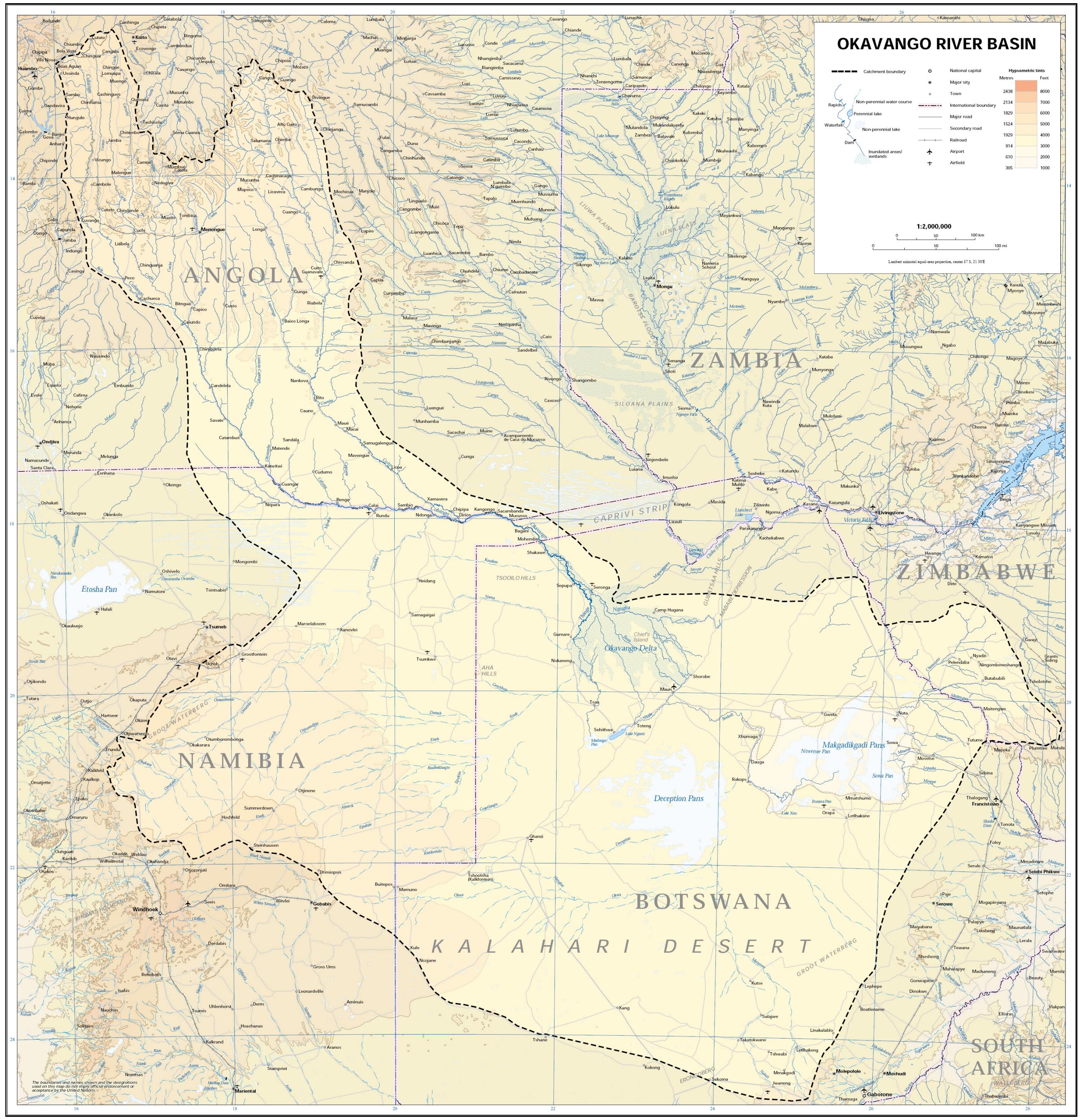
One of the most famous, the Okavango River is located in south-western Africa,
passing through
Republic of Namibia, Angola and Botswana. It is the fourth-longest
river system in Southern Africa, running south-eastwards for about 1,600 km (990
miles). Okavango River begins in Angola, where it is known as the Cubango (Kubango) River. Further
south it forms part of the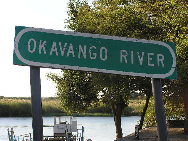 border between Angola and Namibia, and
later on flows
into Botswana, draining into the Moremi Game Reserve.
border between Angola and Namibia, and
later on flows
into Botswana, draining into the Moremi Game Reserve.
Before it enters Botswana, the river drops four meters, across the full 1.2
km-width of the river, in a series of rapids known as
Popa Falls, visible when the river is low, as
during the dry season.
Discharging to an endorheic basin, the Okavango does not have an outlet to
the sea. Instead, it empties into a swamp in the Kalahari Desert, known as
the Okavango Delta or Okavango Alluvial Fan. In the rainy season there is an
outflow to the Boteti River which in turn seasonally discharges to the
Makgadikgadi Pans, which features an expansive area of rainy season wetland
where tens of thousands of flamingos congregate each summer. Part of the
river's flow fills Lake Ngami. Noted for its wildlife, the Okavango area
contains Botswana's Moremi Game Reserve.
Water Conflict
Both Namibia and Botswana experience drought and as a result of this, there
have been concerns about possible conflict over use of the river's water.
Namibia has built a water canal, measuring about 300 km long, and has
proposed a project to build a 250 km pipeline to divert water from the river
into Namibia to help relieve the drought.
Botswana, however uses the Okavango Delta for both tourism income and a
water source. The Department of Water Affairs in Botswana has submitted that
97% of the water in the river is lost through evaporation, so the country
can not afford to lose any extra water.
Namibia, however, has argued that it will only divert half a percent of the
river's flow, and that it is entitled to any water that flows through its
country. To deal with such issues, in 1994 Angola, Namibia and Botswana
signed an agreement to form the Permanent Okavango River Basin Water
Commission (OKACOM), to provide advice to the three countries about the best
ways to share the Okavango River's resources.
Flood
If one thinks of the channels in the delta as the arteries of this gigantic
living organism, then its heart is 1 250 km away in the Angola highlands.
This distant heart beats but once a year when Angola receives three times
the amount of rainfall that Botswana does, sending a giant pulse of water
coursing across Africa which eventually drains its lifeblood into the
waiting arteries of the Okavango. This is referred to as the flood but
unlike in the rest of the world where a flood has negative connotations, in
the Okavango the flood is always welcome.
Although the summer rains fall in Angola in January, they take a whole month
to travel the first 1,000 km of the Okavango River. And then they take a
further four months to filter through the plants and numerous channels of
the final 250 km of the Delta. As a result the flood is at its biggest
sometime between June and August, during Botswana’s dry winter months. And
the delta swells to three times its permanent size, attracting animals from
miles around and creating one of Africa’s greatest concentrations of
wildlife.
At its widest point in a big flood year the seasonal swamp stretches to 150
km across from east to west. And one of the factors that leads to the ever
changing nature of the Delta is the flatness of the area. To give an idea of
how flat it is, if one were to take a cross section of the Delta at its
widest point, along this cross section one would find that the height
variation from the mean over that 150 km is less than 2 m. So a little sand
deposition can cause major changes.
Countries: Angola, Namibia, Botswana
Mouth location: Moremi Game Reserve, Botswana
Length: 1,600 km (994 mi)
Basin: 530,000 km2 (204,634 sq mi)
Discharge:
- average 475 m3/s (16,774 cu ft/s)
- max 1,000 m3/s (35,315 cu ft/s)
- min 350 m3/s (12,360 cu ft/s)
To print this page press
Ctrl-P
Contact:
E-mail:
info@namibweb.com
Reservations are only accepted in writing: by fax or via e-mail.
Final availability confirmation: in writing: by fax or via e-mail.
Terms & conditions, Payment options and Cancellation
policy


Page created and serviced by

www.namibweb.com
Copyright © 1998-2025
namibweb.com - The online guide
to Namibia
All rights reserved |
JOIN
|
VIDEO PORTFOLIO
|
VIDEO/PHOTO COLLECTION
Telegram
| YouTube |
Blog
Page is sponsored by ETS &
Exploring Namibia TV
Disclaimer: no matter how often this page is updated and its accuracy is checked,
www.namibweb.com and ETS
will not be held
responsible for any change in opinion, information, facilities, services,
conditions, etc. offered by
establishment/operator/service/information provider or any third party